PLACE SV-P-0000083
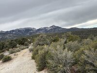
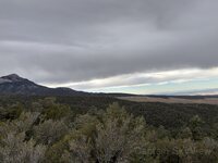
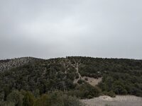
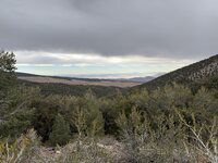
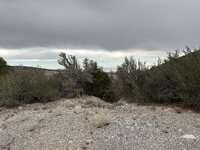
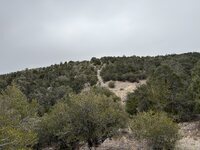
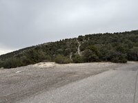
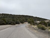
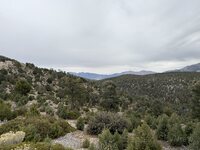
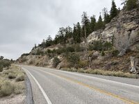
Mummy Mountain
14 page views
ABOUT THIS PLACE
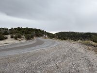
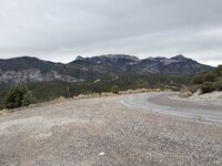
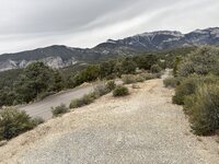
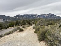
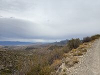
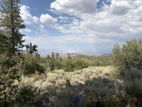
Mummy Mountain is recorded in the Captain SkyView archive as a Peak. SkyView currently contains 37 public artifacts with a public location inside this place area.
PLACE DETAILS
Mummy Mountain
- Type
- Peak
- Location
- Mummy Mountain
- Map point
- 36.29941, -115.64863
- Map area
- Point radius (3,280 ft)
- Source
- Overpass
- Source ID
- node:357558476
- Source refreshed
- October 18, 2026
LANDSCAPE TOPICS
What is documented here
Alluvial sediment, undifferentiated geologyCAc geologyCAs geologyPPNc geologyPPNs geologyQa geologySedimentary rocks geologyAda and Edith Claims mineAda & Edith Claims mineAngel Park Pit mineBest View Prospect mineBlue Diamond Mine mineBlue Diamond Pit & Mill mineBunker-Stone No. 1 Claim mineEmerald Prospect mineFive Star Lead Property mineFive Star Mine mineGriffith Mine mineHome Stake Prospect mineIndian Springs Pit & Mill mineIron Age Claims mineJanet Sand Pit mineLone Mountain Stocks Pit mineLongo mineLucky Strike Mine mineMateucci Gypsum Deposit mineMoonshine Prospect mineMountain View Prospect mineNoonday Prospect mineQuality Sand and Gravel Pit mineSalt Lake Highway North mineSandstone Quarry mineSmp Prospect mineSpring Mountain Pit & Mill mineSpring Mt. Road Pit & Mill mineStirling Mine mineSummerlin Pit mineTule Springs Pit & Mill mineUnnamed Prospect mineWest Ann Road Pit mineZeinka Mine mine
INSIDE THIS PLACE
Artifacts in this area
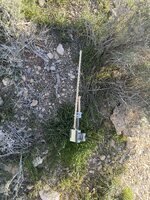
37 public artifacts whose public location falls inside this Place.